The Future in ultra Efficient Farming
An agricultural drone is an unmanned aerial vehicle (sUAV) applied to farming in order to help increase crop production and monitor crop health and growth.
Sensors and digital imaging capabilities can give farmers a richer picture of their fields. This information may prove useful in improving crop yields and farm efficiency.
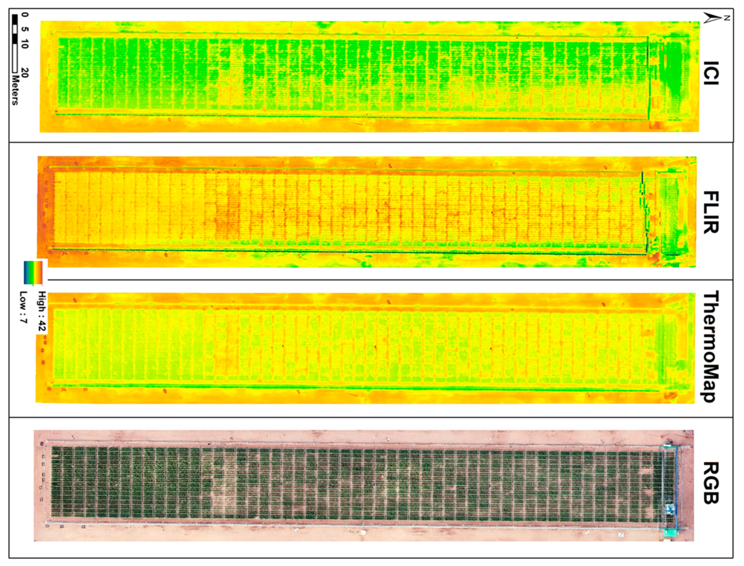
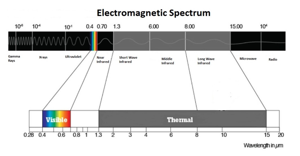
Hi-Res imagery let farmers see their fields from the sky. This bird’s-eye view can reveal many issues such as irrigation problems, soil variation, pest, and fungal infestations. Multispectral images show a near-infrared view as well as a visual spectrum view. The combination shows the farmer the differences between healthy and unhealthy plants, a difference not always clearly visible to the naked eye. Thus, these views can assist in assessing crop growth, health, and production.
Additionally, we can survey the crops for the farmer periodically to their liking. Monthly, Weekly or daily. This Hi-Res imagery can show the changes in the crops over time, thus showing possible “trouble spots”. Having identified these trouble spots early the Client can attempt to improve crop health and production.
Learning , improving and advancing
We are always learning and improving our methods. We stay up on and follow new technology in the field, but that’s just part of our ongoing growth. Input from our Clients is invaluable and always a big part of our process.
If you would like to talk to us about what we might be able to do for you. Please reach out to us. We are very eager to hear from you. We love to visit you and show you the process first hand.
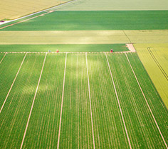
RGB Imagery
Regular RGB photos can help track progress and document crops entirety for insurance claims
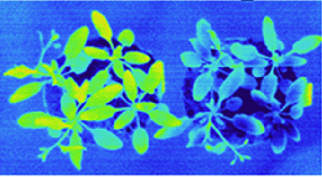
multi-spectrum
Multi-Spectrum imagery can detect problems well before the human eye can. Giving the farmer the ability to nip the problem in the bud before it's too late. NDVI (Normalized Difference Vegetative Index) is used to assess crop vigor based on a mathematical interpretation of color and near-infrared data. Imagery is very useful to identify areas of crop variability.
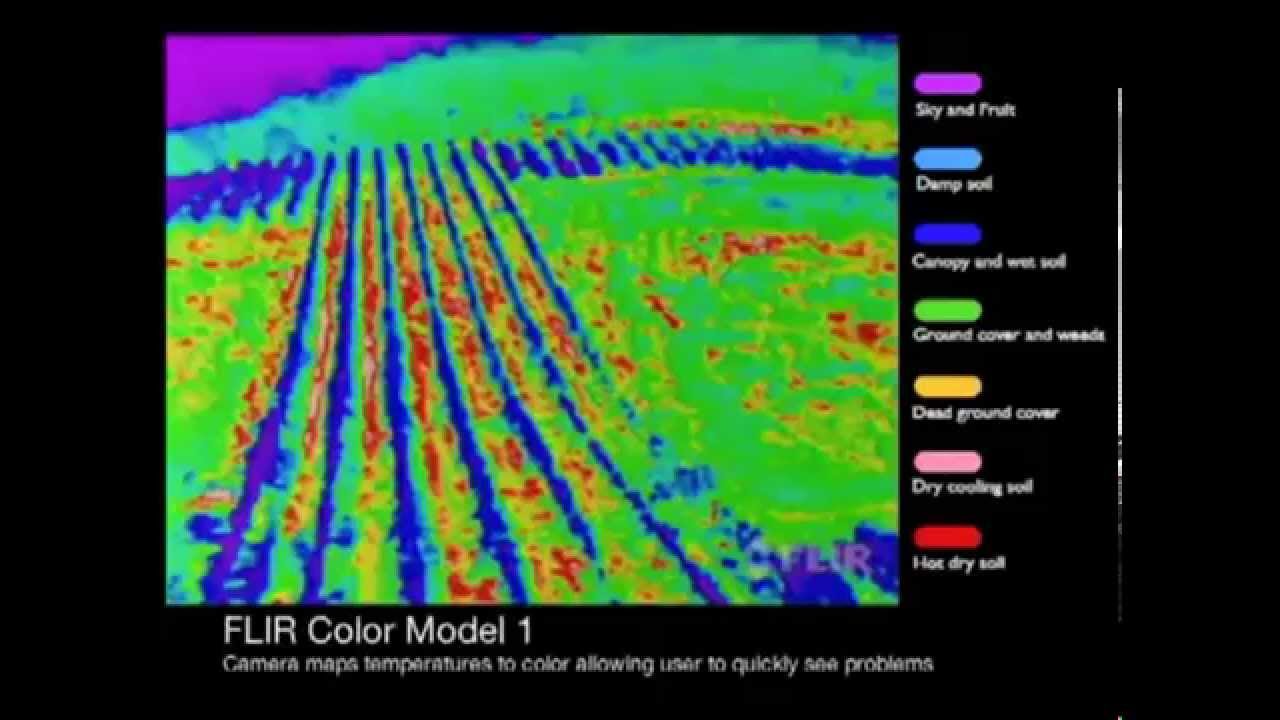
thermal imagery
In thermal remote sensing, the invisible radiation patterns of objects are converted into visible images and these images are called thermograms or thermal images. This technology is a non-invasive, non-contact and non-destructive technique. It can be used to determine thermal properties and features of an object of interest and can be used in many fields, where heat is generated or lost in space and time. Usage includes monitoring irrigation scheduling, plants disease detection, estimating fruit yield, evaluating the maturity of fruits and bruise detection in fruits and vegetables.
FAA CERTIFIED sUAS PILOTS
All aerial mission conducted by and under the direct supervision of an FAA certified, registered and insured sUAS drone pilot


